The Role of Birch Bay Tide Charts in Navigating Birch Bay’s Waters
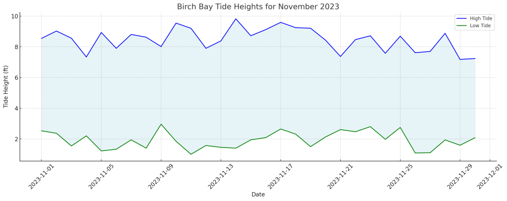
Tide charts are invaluable tools for anyone venturing into or living near coastal areas like Birch Bay. They offer a detailed view of the expected times and heights of high and low tides, crucial for various activities ranging from fishing to boating. Understanding how to read a tide chart is not just about safety but also enhances the overall experience of coastal adventures.
Why Tide Charts Matter for Fishermen
Fishing Success: For fishermen, tide charts are more than just a guide; they’re a pathway to success. The movement of tides influences the behavior of fish, making certain times more opportune for fishing than others. Knowing when high or low tide occurs allows anglers to strategically plan their fishing expeditions, increasing their chances of a good catch.
Safety on the Waters: Besides the best fishing times, tide charts provide essential safety information. Understanding when tides change helps prevent situations where fishermen might find themselves in hazardous conditions due to rapidly changing water levels.
Enhancing Outdoor Recreation with Tide Knowledge
Beach Activities: Planning a day at the beach? Tide charts help you determine the best time to go. Low tide often reveals hidden areas of the beach, perfect for exploration or finding a quiet spot to relax.
Boating and Kayaking: For those who love boating or kayaking, knowing the tides is crucial. High tides offer more water depth, making it easier and safer to navigate, especially in areas where sandbars or rocks can pose a threat.
Tide Charts and Environmental Conservation
Awareness of Natural Patterns: Tide charts also play a role in environmental education and awareness. They provide insights into the natural rhythms of the ocean, fostering a deeper appreciation and understanding of marine ecosystems.
Conservation Efforts: By understanding tidal patterns, locals and visitors alike can engage in more responsible and sustainable practices, contributing to the conservation of Birch Bay’s unique marine environment.
Accessing Birch Bay Tide Charts: A Step-by-Step Guide
Navigating to the right information about tide times in Birch Bay is essential for anyone planning to engage in activities influenced by tides. Here’s a simple guide to accessing the most accurate and up-to-date tide charts for Birch Bay.
- Visit Birch Bay Tides Website: Start by visiting Birch Bay Tides for the most reliable and local tide information.
- Choose the Date: Select the specific date for which you need tide information. The website provides daily tide charts.
- Review Tide Timings: The website will display both high and low tide times along with their respective heights. This information is crucial for planning your day around the tides.
- Note Special Alerts: Pay attention to any special alerts or notices about unusual tidal activity or weather conditions affecting the tides.
Practical Applications of Tide Charts in Everyday Life
Maritime Navigation: Sailors and boaters heavily rely on tide charts for safe navigation in Birch Bay waters. Accurate tide information helps in avoiding shallow areas during low tides and understanding the best times for docking and undocking.
Educational Purposes: Schools and educational institutions use tide charts as a practical tool for teaching about marine biology, environmental science, and geography.
Emergency Services: Local emergency services use tide charts to anticipate and prepare for potential coastal flooding or to plan rescue operations in coastal areas.
Conclusion
Understanding and utilizing the “Birch Bay Tide Chart” is not only essential for safe and enjoyable coastal activities but also plays a significant role in environmental awareness and education. Whether you are a fisherman, a nature enthusiast, or a local resident, keeping up with the tide charts is a key aspect of life in coastal areas like Birch Bay.